Carrilet II Route
Sant Feliu de Guíxols - Girona
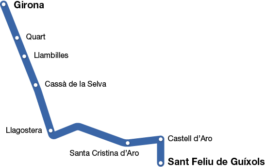
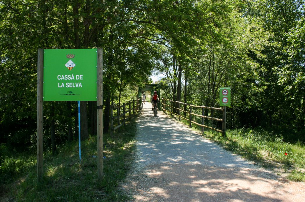
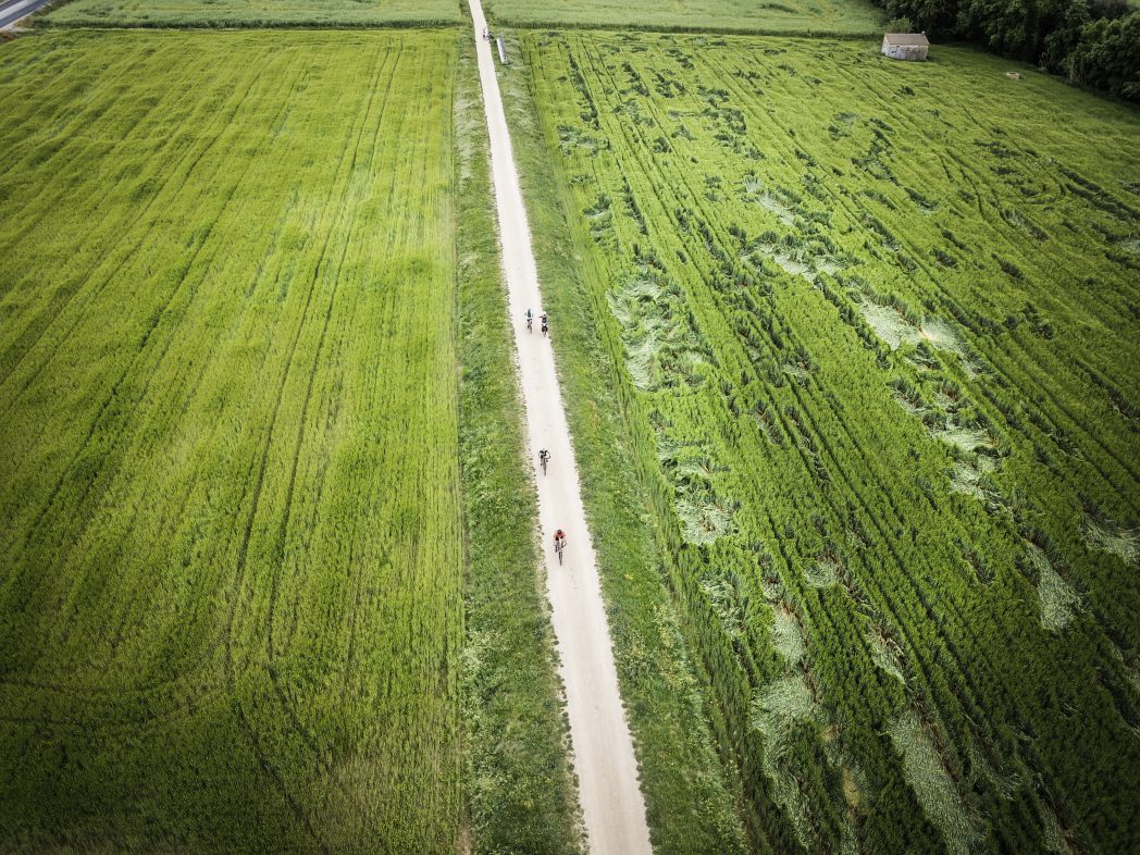
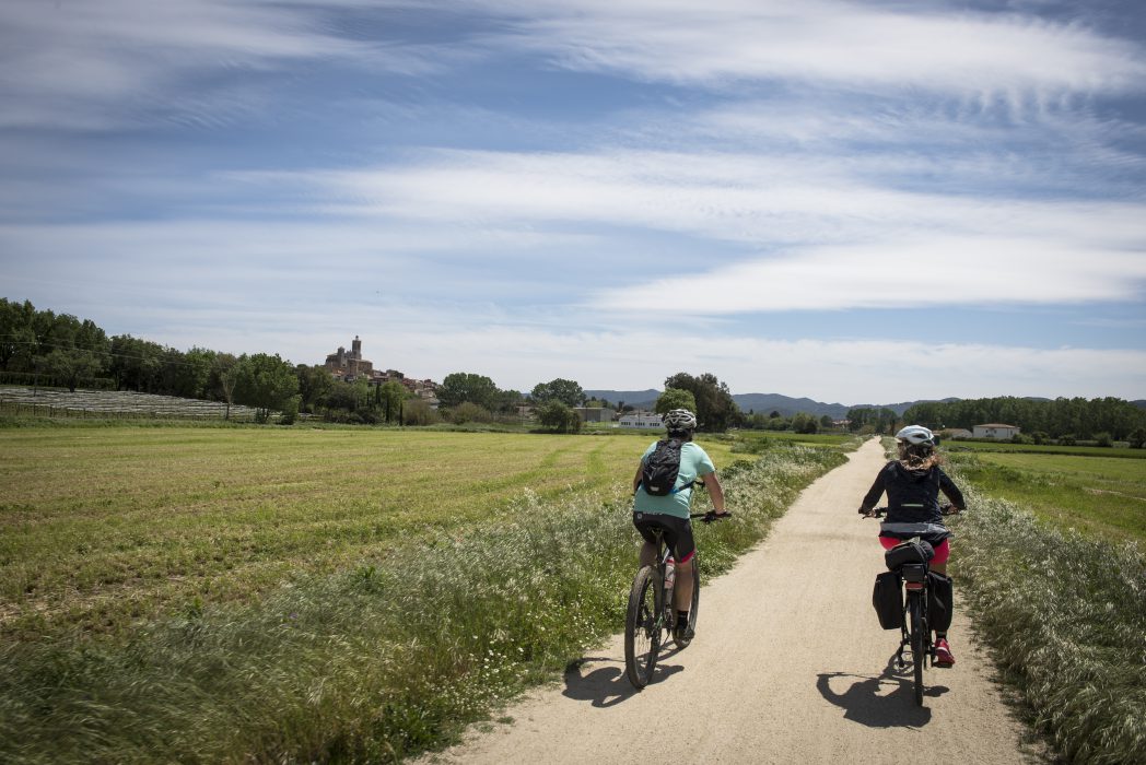
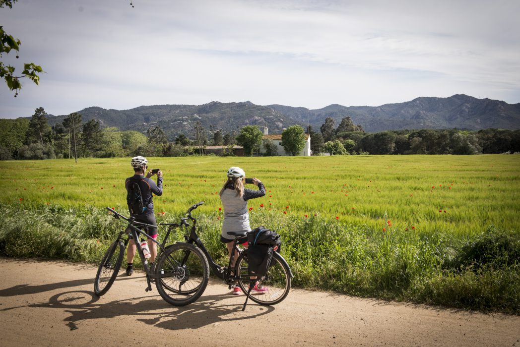
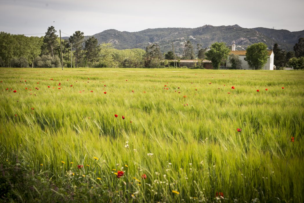
The Carrilet II stage covers 39.7 km, with a gentle slope that reaches its highest point in Cassà de la Selva. By following this stage, we can discover the Gironès and Baix Empordà comarcas, with an ever-changing landscape from where we can enjoy spectacular views. This stretch stands out for the gentleness of its slopes and more difficult sections. The stretch is made up of a sinuous line that unfolds mathematically along the territory.
Kilometers 39,7 km
Accessible route
Slope 0,5%
Difficulty Minimum
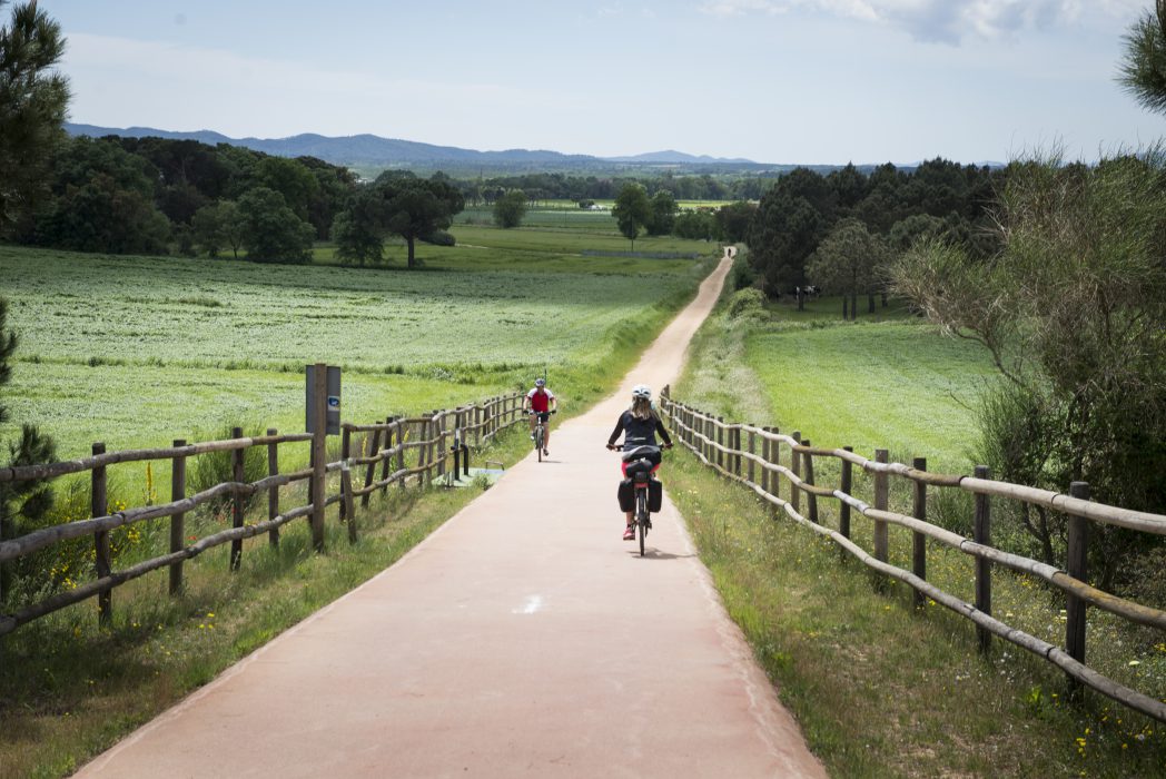
Pavement Packed granite sand
Maximum altitude 136 m (Cassà de la Selva)
Minimum altitude 0 m (Sant Feliu de Guíxols)
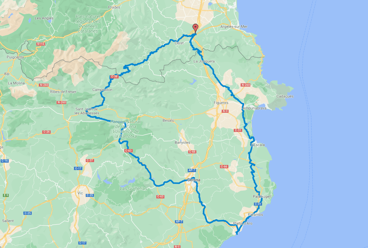
IMPORTANT NOTE: This route is explained in a clockwise direction, following the Pirinexus route. In general, however, the route explained as a greenway is described from mountain to sea (Girona – Sant Feliu de Guíxols).
The Carrilet II stage covers 39,7 kilometres, with a gentle slope that reaches its highest point in Cassà de la Selva (136m). Following the old narrow train route is a great way to discover the areas of the Baix Empordà and Girona.
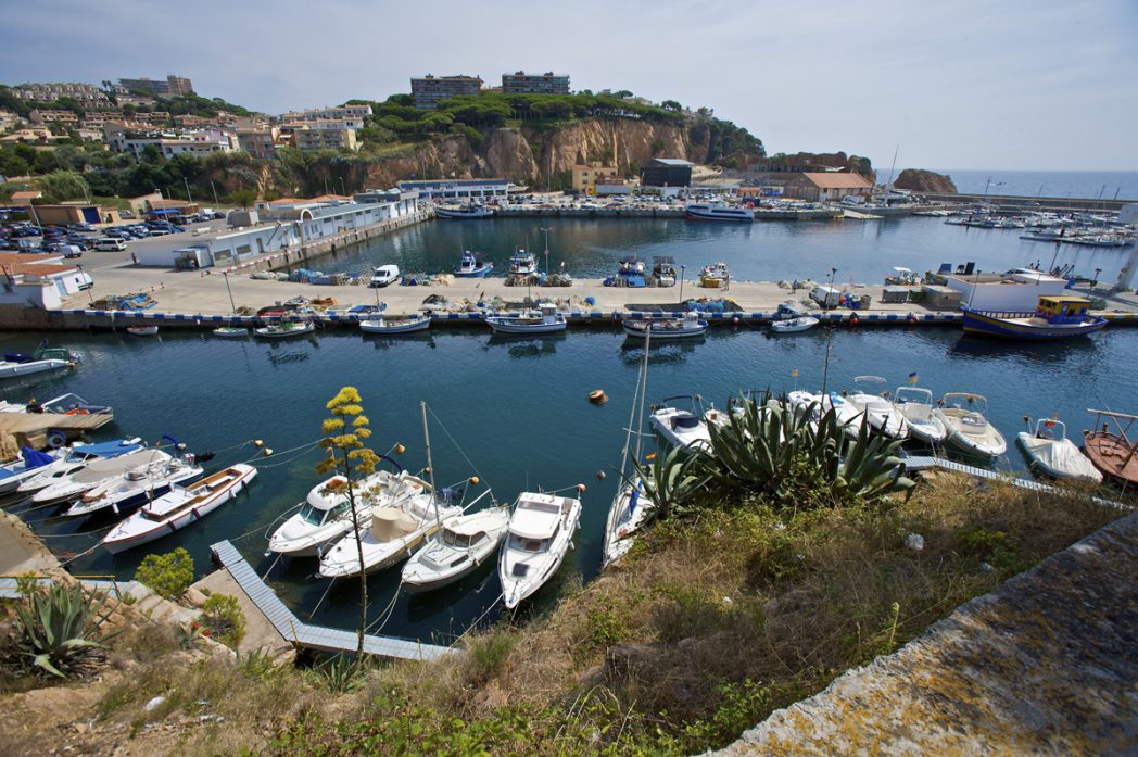
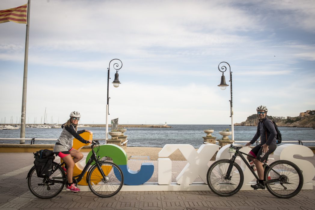
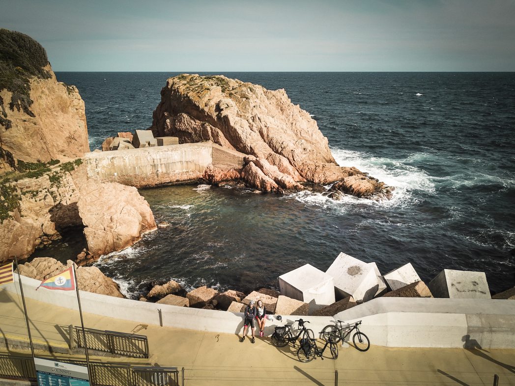
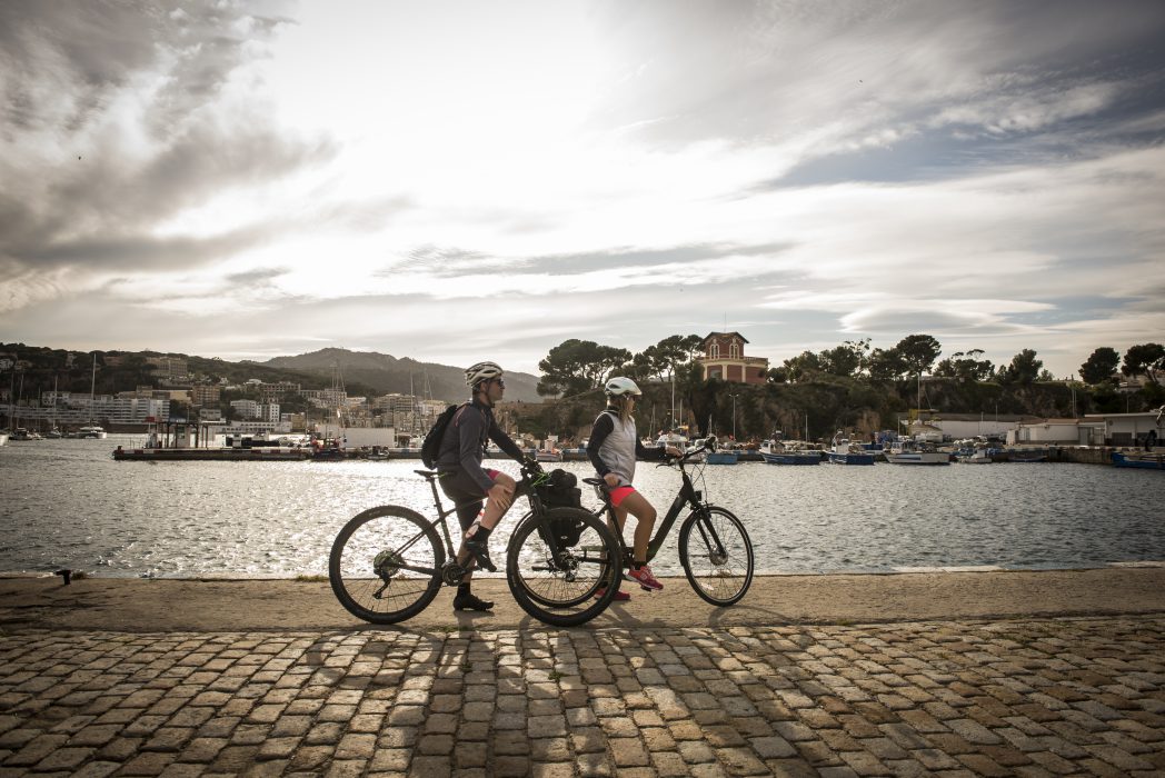
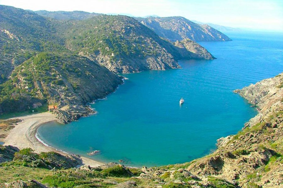
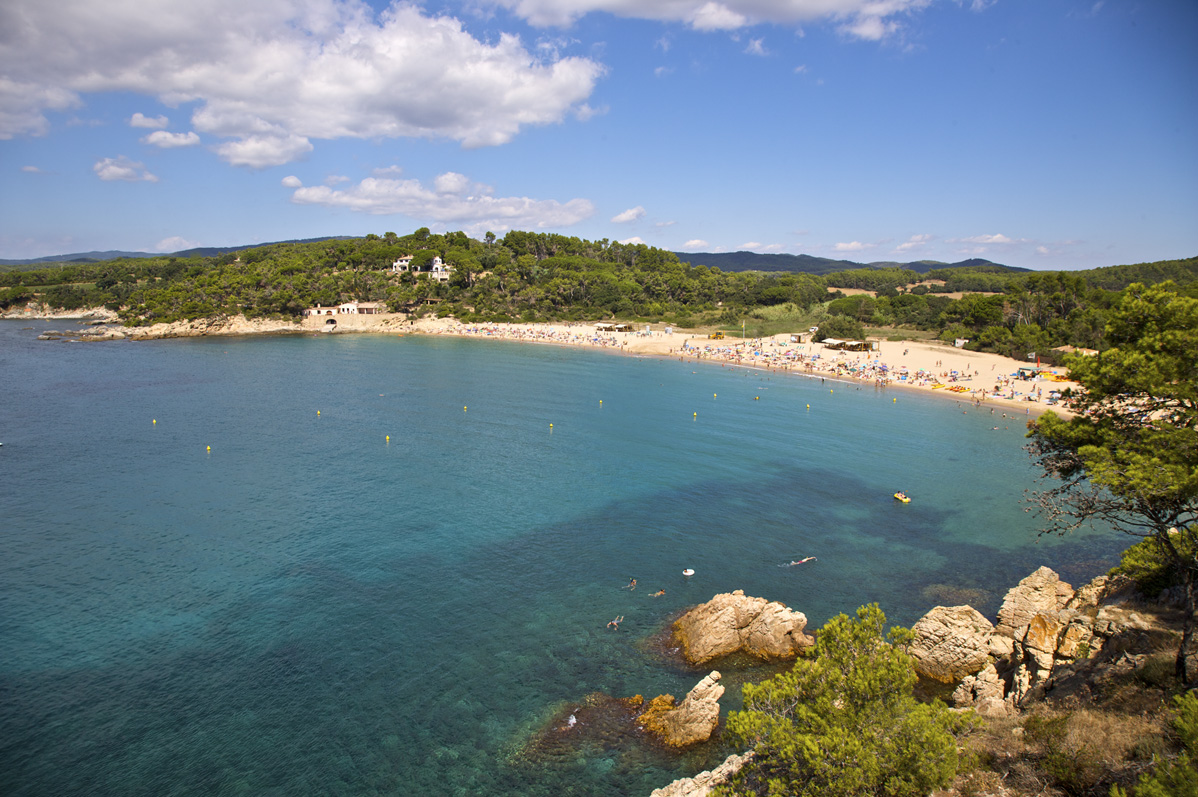
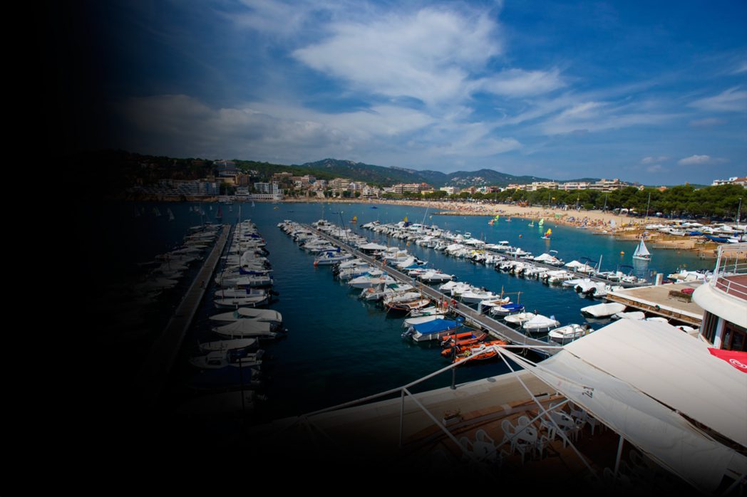
Sant Feliu de Guixols is a fishing town known for the monastery known as Porta Ferrada, which is home to the History Museum of the City and the art gallery known as Carmen Thyssen Space. At the port, in front of the Tinglado building, we find outselves at the 0 kilometre point of the greenway.
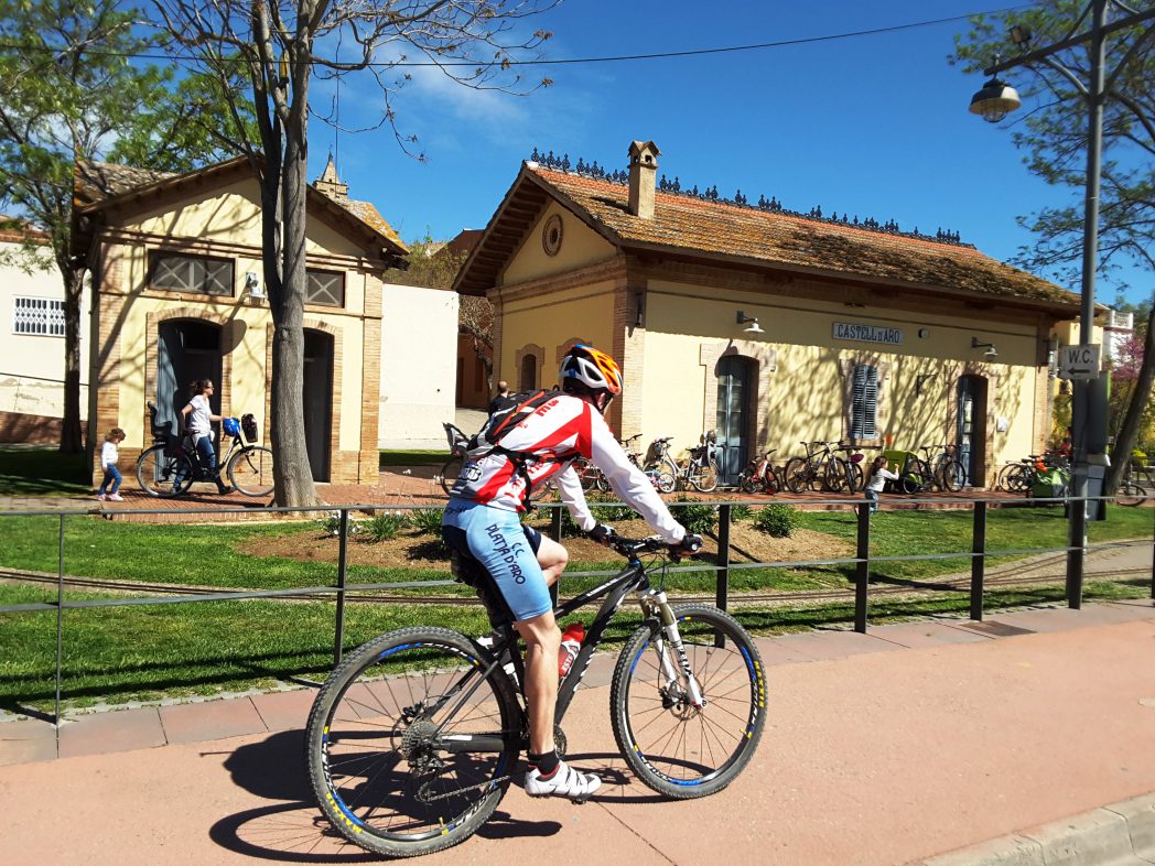
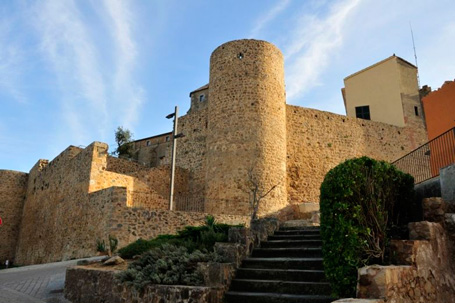
Setting off from the sea, we keep pedalling towards Castell d’Aro and Santa Cristina d’Aro, with their notable medieval remains, until we reach the vicinity of Romanyà, another well-preserved medieval settlement, where we can find the church of Sant Martí and the dolmen known by the name of Cova d’en Daina.
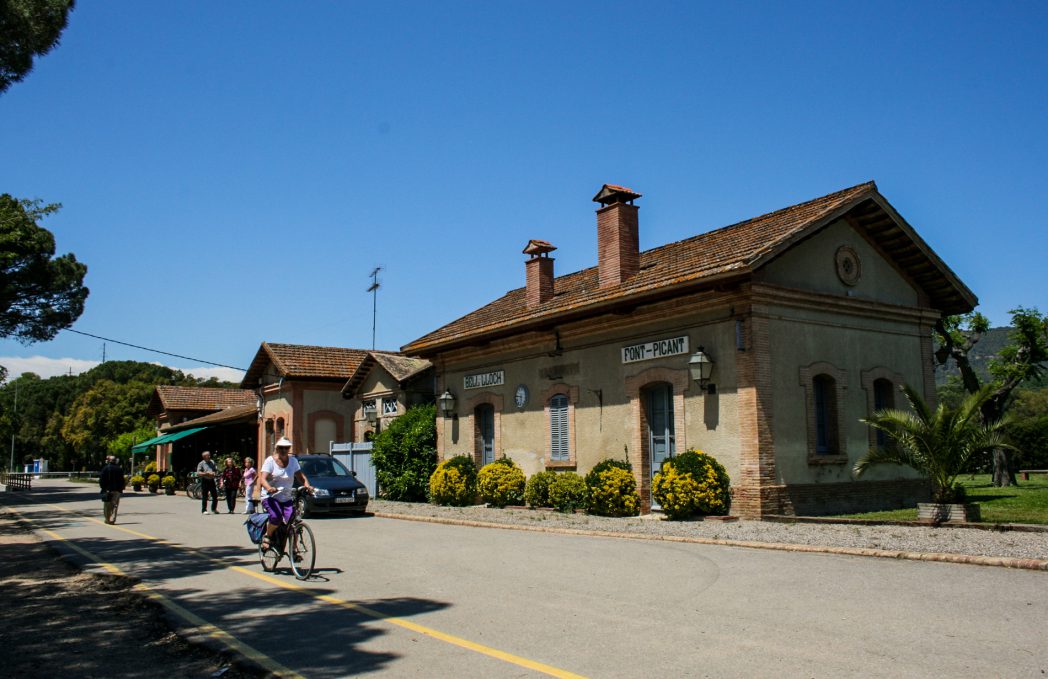
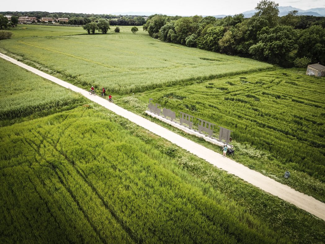
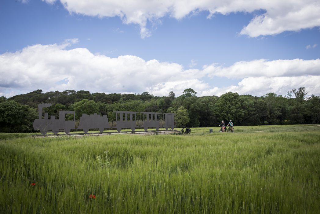
Passing through the Gavarres and the corkwood forests, we reach Llagostera, the first town within the Gironès comarca, which has a privileged view of the Selva plain. On route towards Cassà de la Selva, we cross the tectonic depression, a low-lying area with fault lines responsible for the existence of hot springs at different points in the area. When we arrive at the town, we immediately become aware of the strong mark left by the cork industry over the years, which is evident in the many constructions testifying to this era. A little further on we find Llambilles, and a beautiful and emblematic sculpture in memory of the Carrilet Railway.
The depression has resulted in many plots of clay, which has been used by experts for over 700 years to create all kinds of different ceramics. The town of Quart is the main example of such a town, where we can find the Museum of Pottery right next to the greenway.
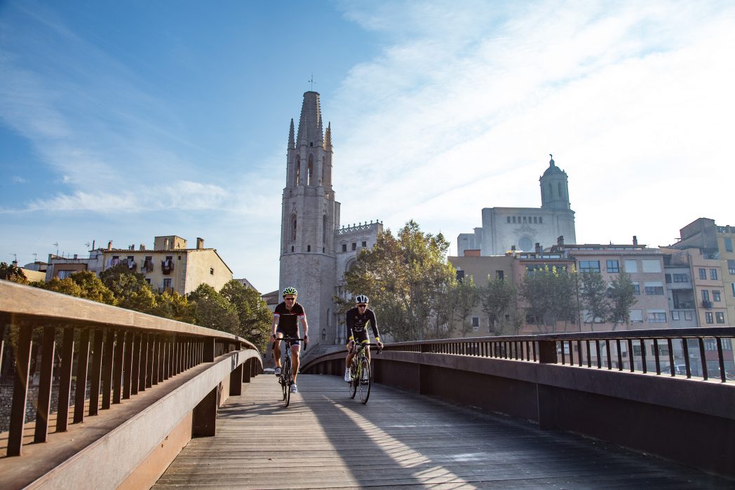
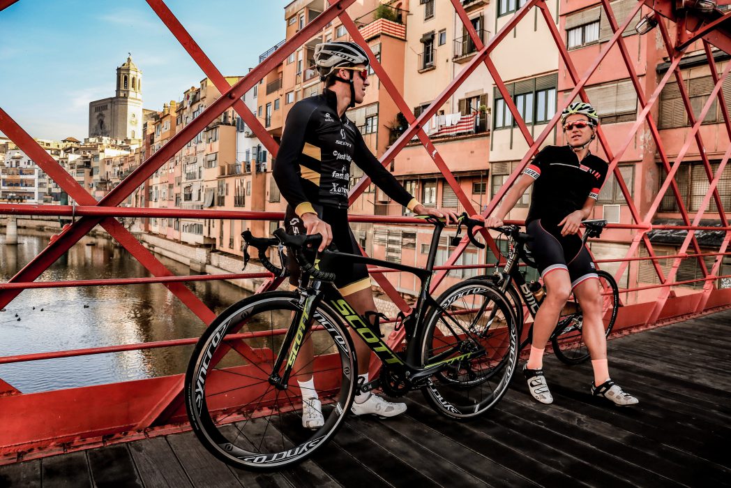
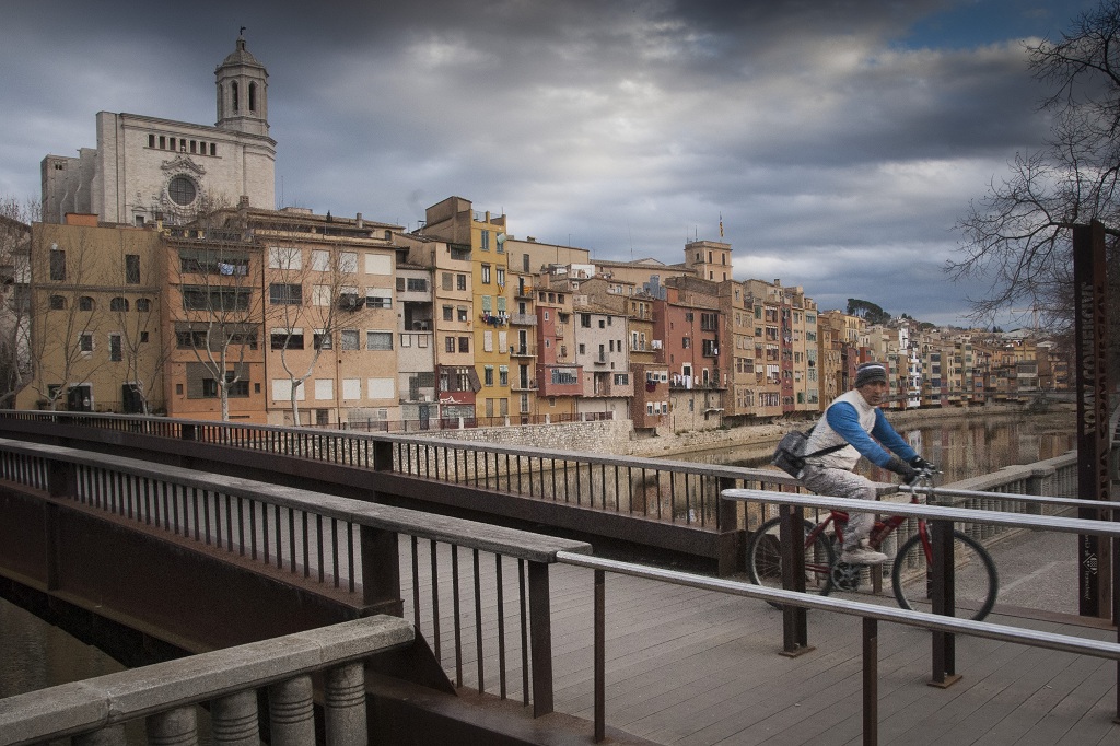
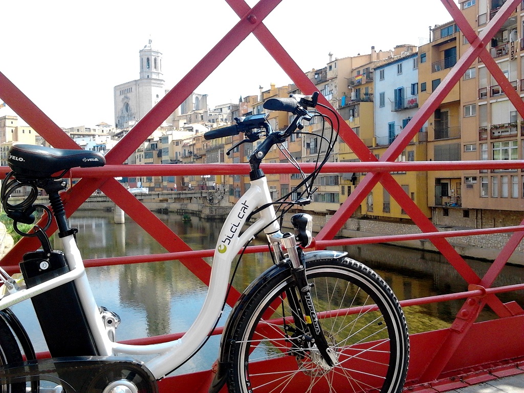
Following the stage, we reach Girona, the most important city in the area. The skyline of this city is dominated by the cathedral and the church of Sant Feliu, one of the most unique Gothic constructions in Europe, whose complex history can be read on its stones. From Roman Gerunda to the Girona of the 21st century, the old city conserves one of the most important Jewish quarters in Catalonia.
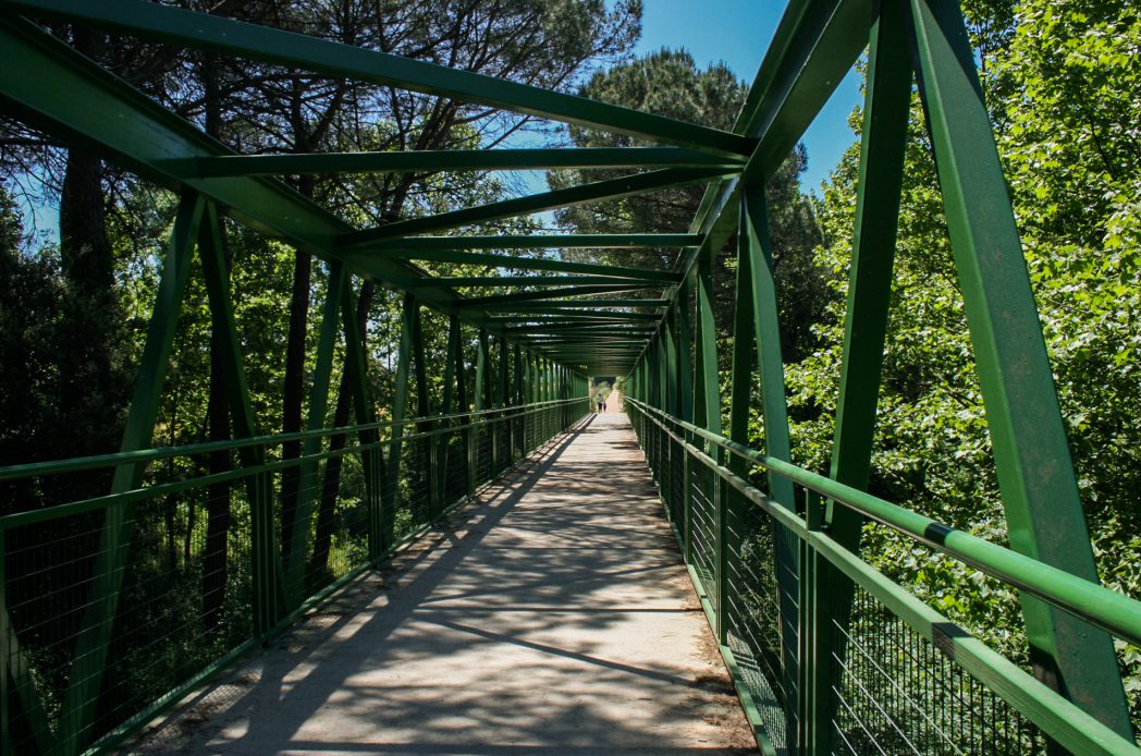
One aspect that is surprising about the stretch of railway that links Sant Feliu de Guíxols with Girona is the gentle nature of its slopes and steep sections. The stretch is made up of a sinuous line that unfolds mathematically along the territory. The pavement consists of a granular material of granitic sand which integrates extremely well in the typology of the earth found along this route.
Download the track and the detailed guide to check if there are any specific difficulties reported at each stretch and to find out about the best tourist attractions in each area. (link)

